Mesozoic Era
From roughly 252 to 66 million years ago, the Tethys Sea covered much of the region with tropical water rich in marine life.
Millions of years ago, the world's largest hot desert was a tropical sea. Today, the same landscape hides fossil water, marine fossils, minerals, and a demanding engineering question: how should humanity use a reserve that cannot quickly renew?
Before the Sahara became a symbol of heat and aridity, North Africa sat beneath warm, shallow water between ancient continents.
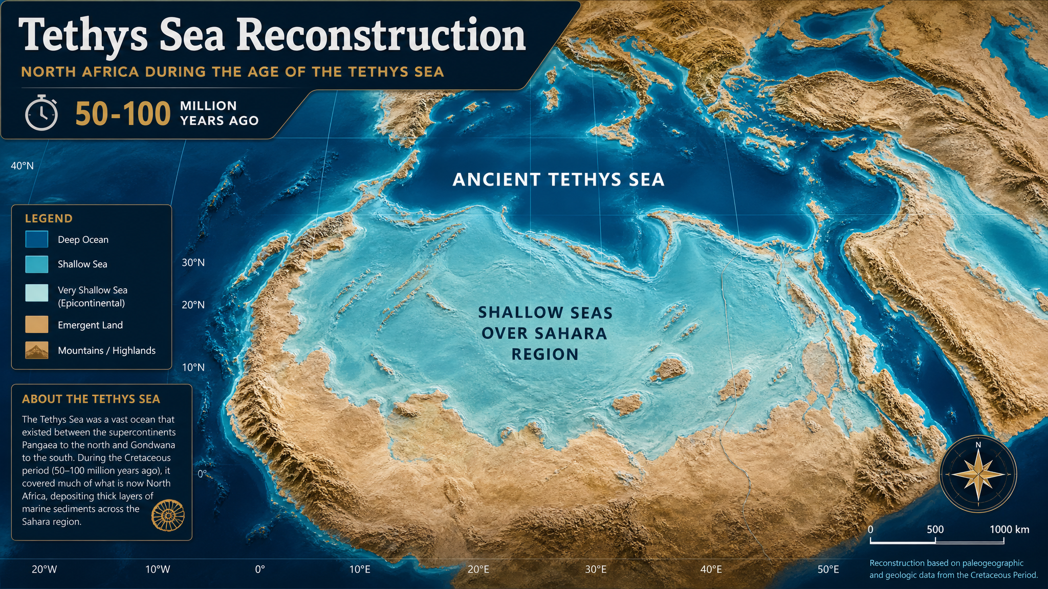
Tethys Sea reconstruction from the source project.
From roughly 252 to 66 million years ago, the Tethys Sea covered much of the region with tropical water rich in marine life.
Africa and India collided with Eurasia, gradually closing the Tethys and uplifting mountain systems such as the Alps and Himalayas.
As the sea retreated and moisture pathways changed, North Africa began the long transition toward the modern Sahara.
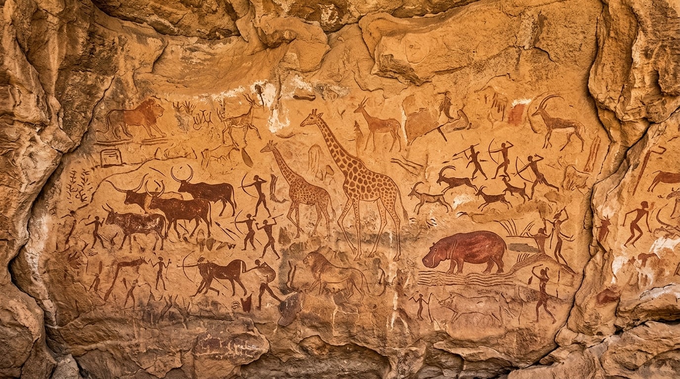
The Sahara is not a timeless wasteland. Orbital cycles have repeatedly shifted the African monsoon, creating wet phases with lakes, rivers, grasslands, and human settlement.
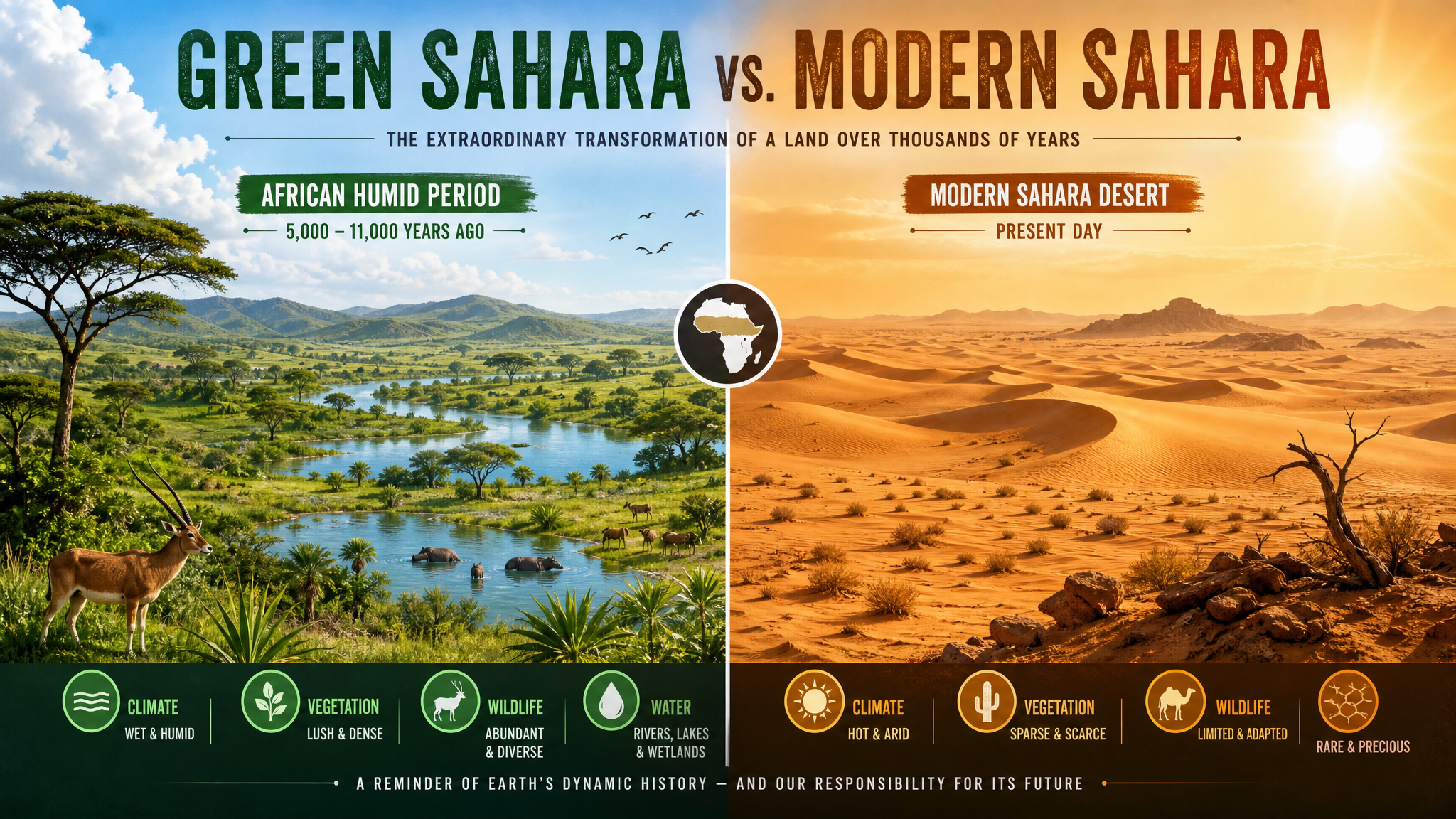
The last African Humid Period supported savannas, lakes, rivers, hippos, crocodiles, and human communities.
Around 5,000 years ago, drying accelerated and many populations migrated toward the Nile Valley.
Earth's axial precession alters monsoon strength, making the Sahara a dynamic climatic archive.
The Nubian Sandstone Aquifer System is the largest known fossil water aquifer on Earth. It stores ancient rainwater at continental scale under Libya, Egypt, Sudan, and Chad.
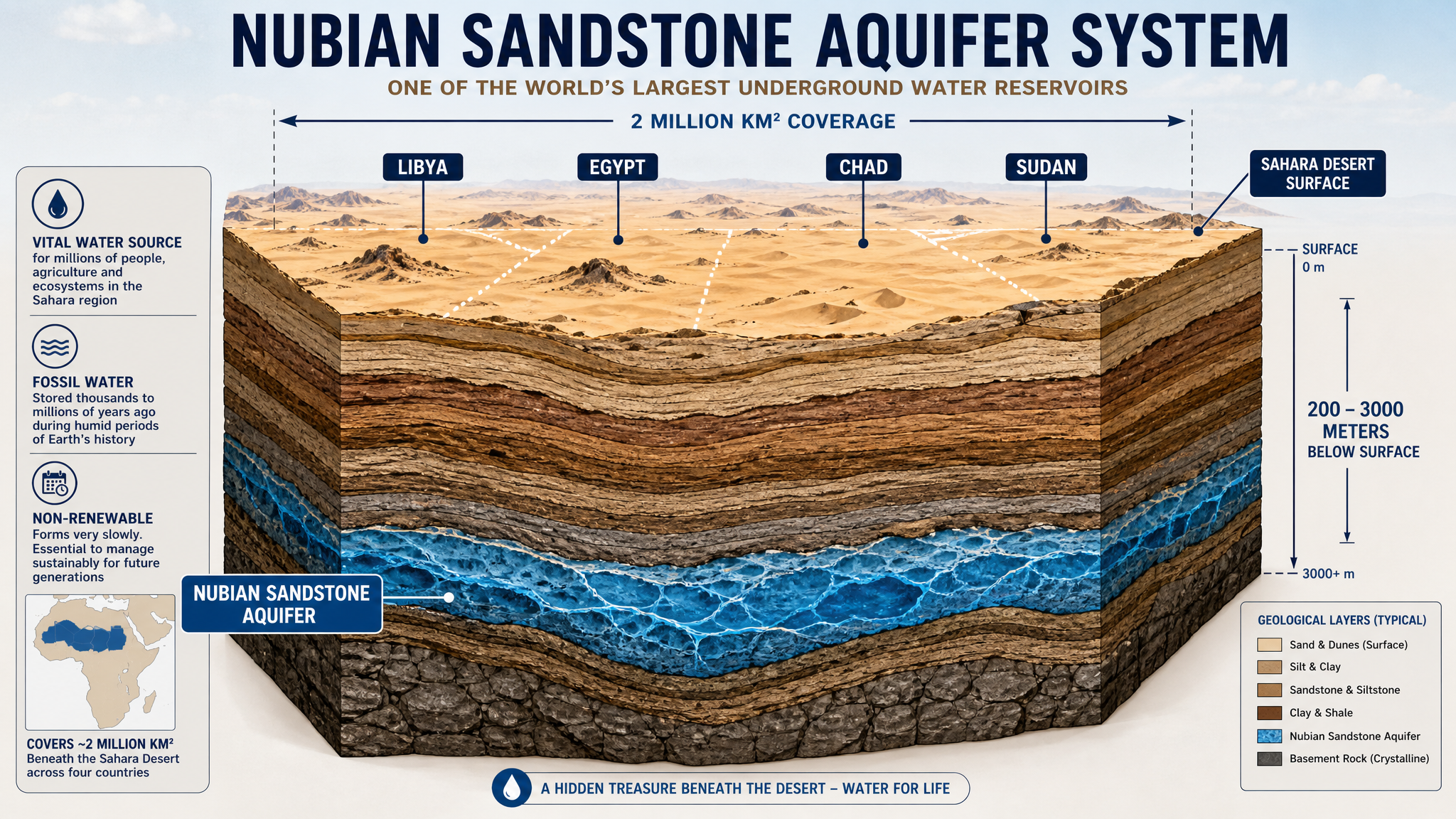
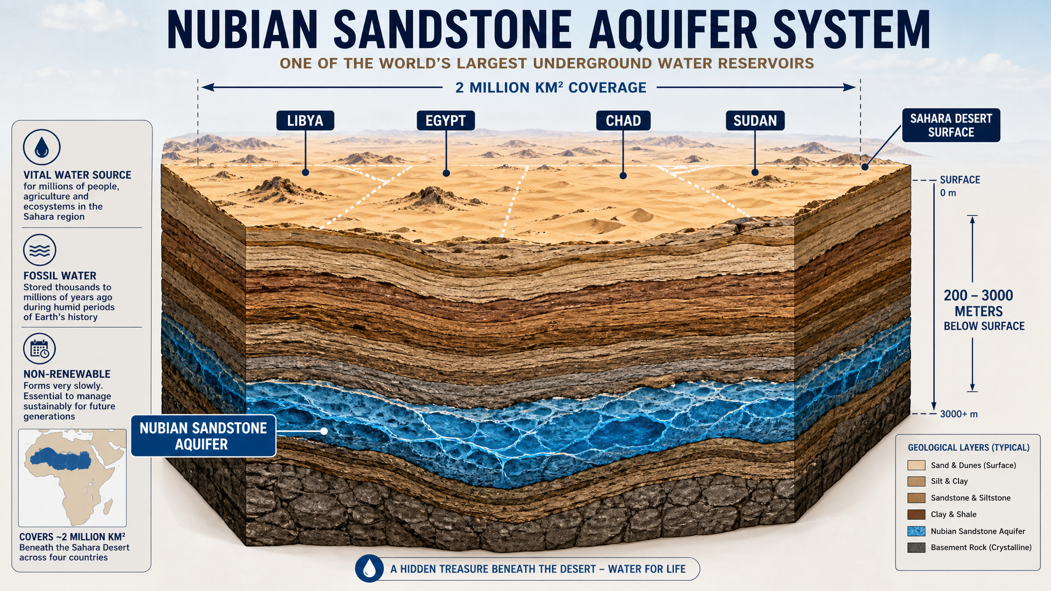
This water accumulated during ancient wet periods. Once mined, it cannot be replaced on human timescales. Large withdrawals therefore require monitoring, cross-border agreements, and a clear distinction between emergency use, food security, and permanent depletion.
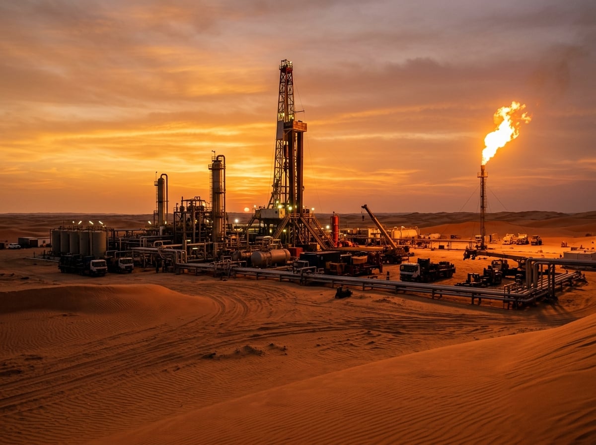
The source project frames the Sahara as an engineering problem: where to drill, how deep to pump, and how to move water without ignoring the limits of a fossil resource.
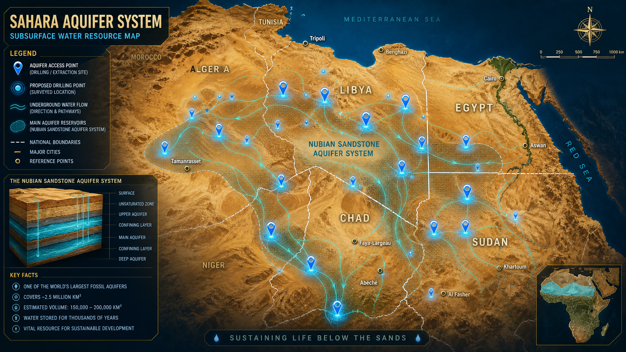
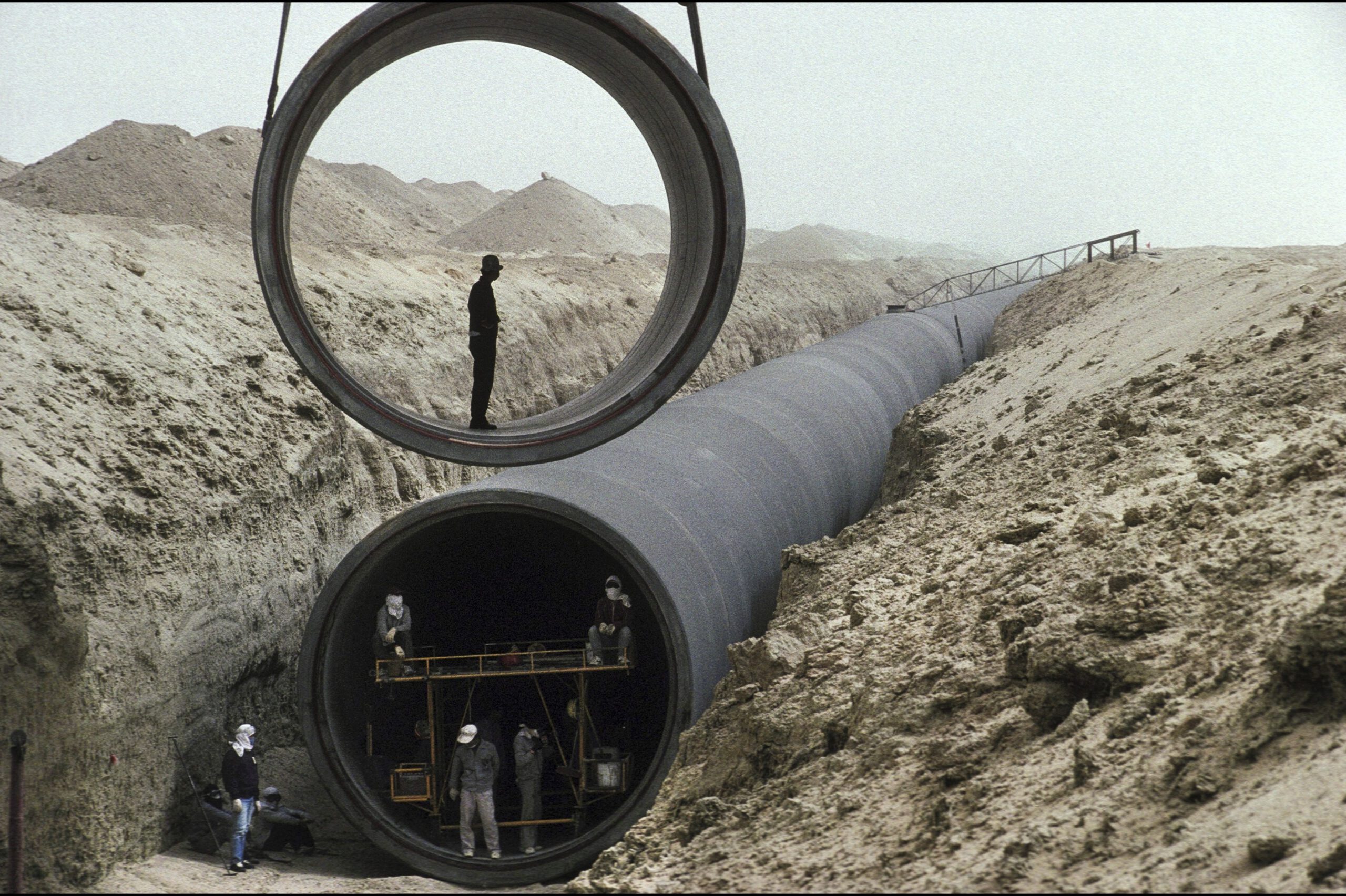
Kufra and Sarir basins hold very high potential, with major wellfields already tied to long-distance conveyance.
East Oweinat and Toshka support land reclamation and center-pivot irrigation in the Western Desert.
Northern Darfur and Nile Basin zones offer moderate potential for community-scale extraction.
Borkou-Ennedi-Tibesti sits near the aquifer edge, where shallower drilling may support pastoral communities.
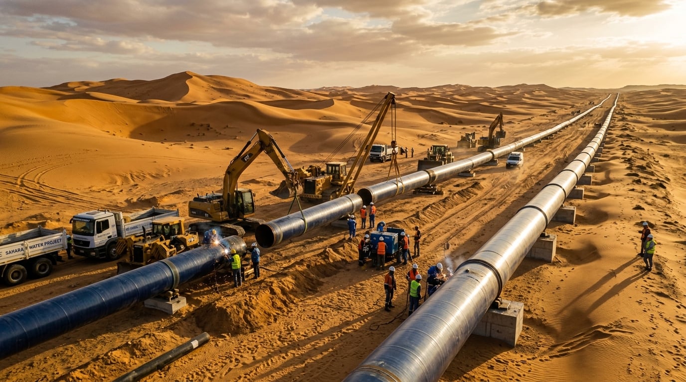
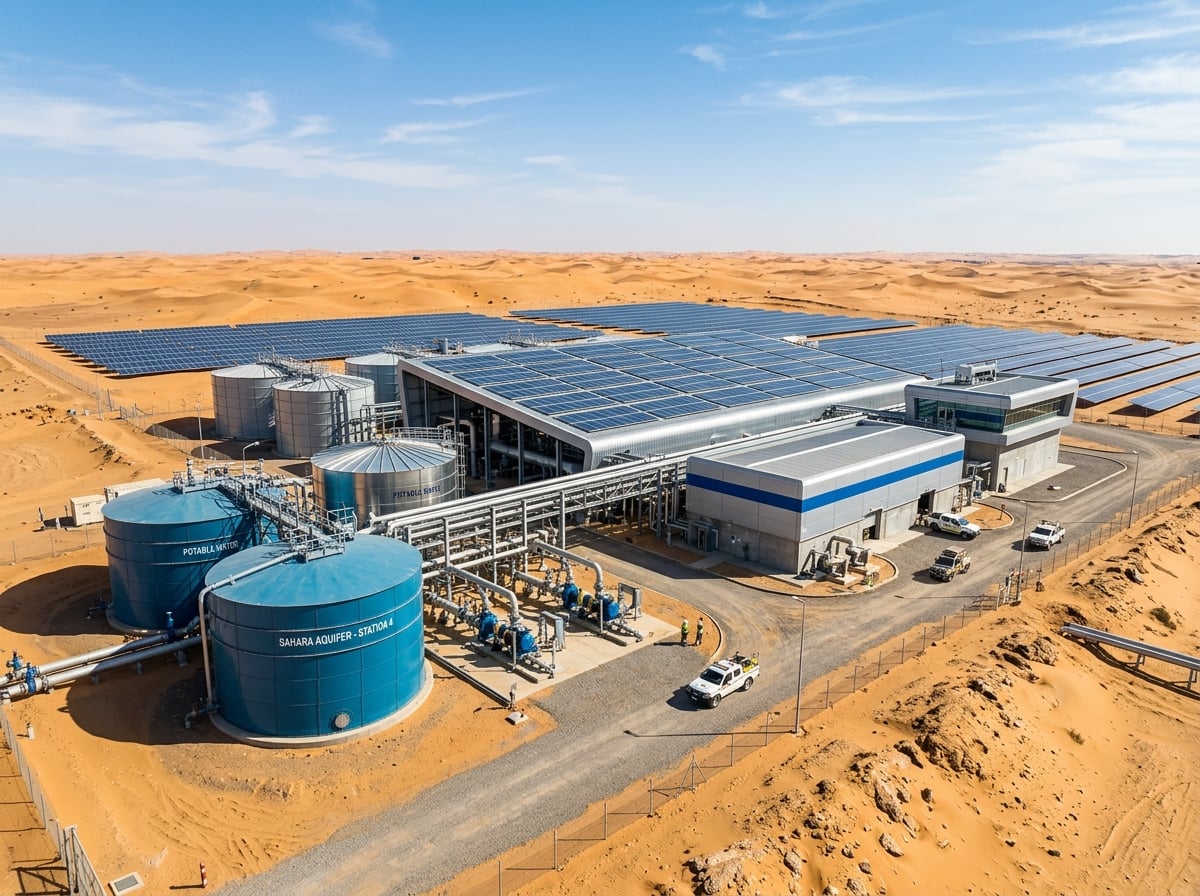
The project connects aquifer access to controlled agriculture: drip irrigation, center-pivot fields, hydroponic greenhouses, and heat-tolerant crops.
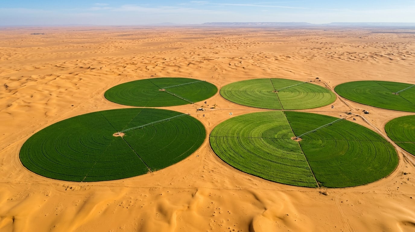
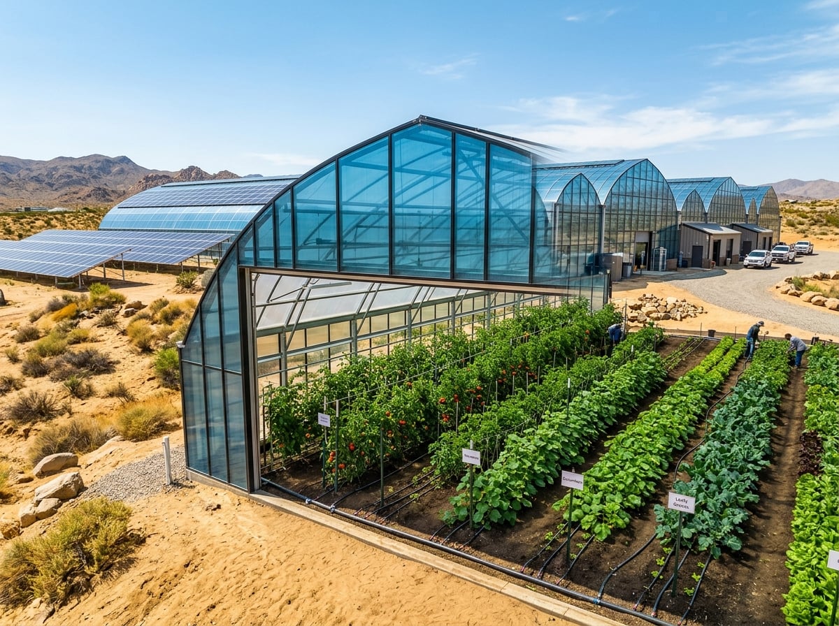

| Method | Water efficiency | Use case |
|---|---|---|
| Drip irrigation | 90-95% | Tomatoes, peppers, orchards, dates, olives, and row crops where evaporation must be minimized. |
| Center pivot | 75-85% | Wheat, potatoes, and fodder crops at larger reclamation sites. |
| Greenhouse hydroponics | 95-99% | High-yield vegetables in controlled environments with nutrient recirculation. |
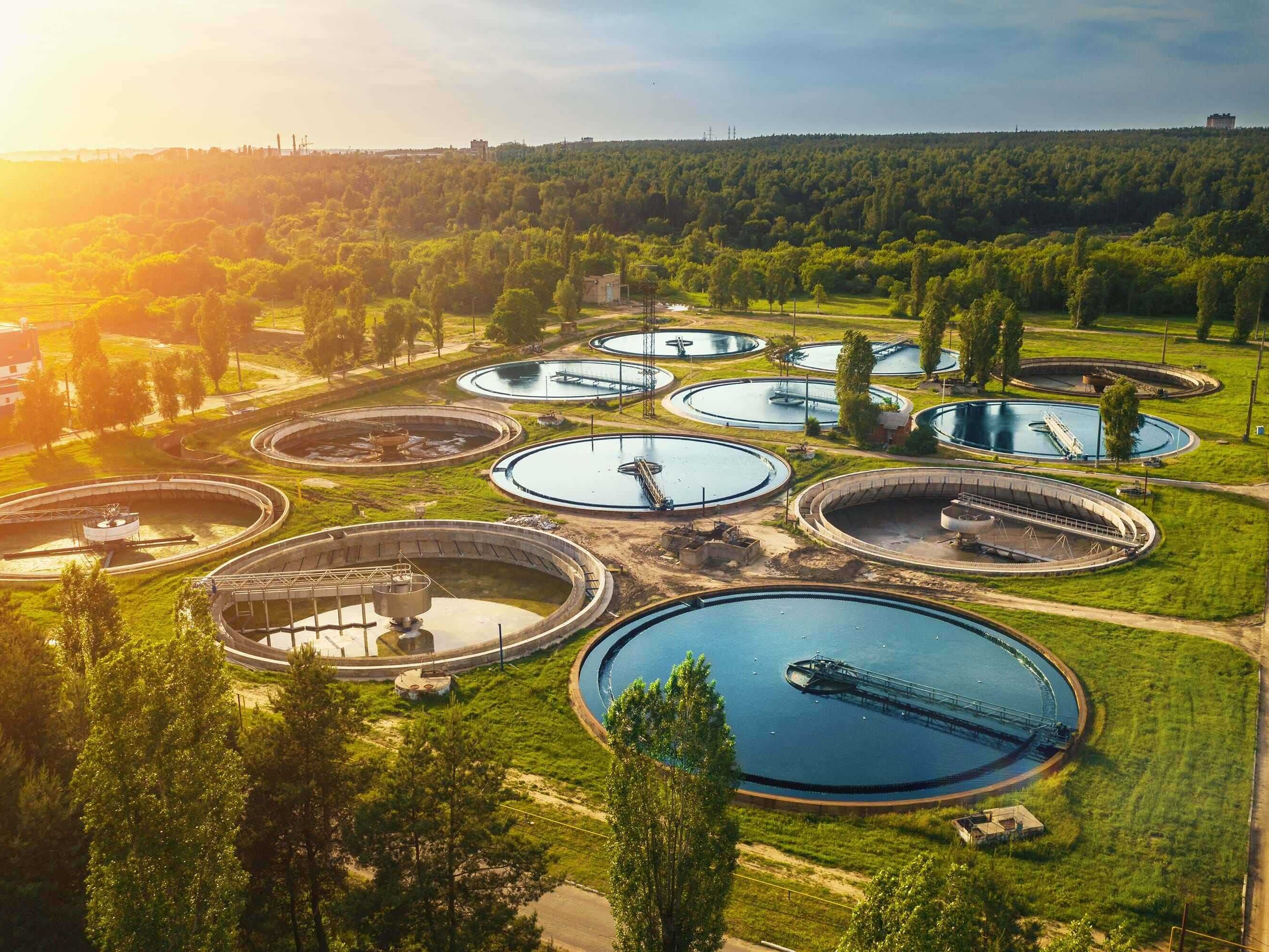
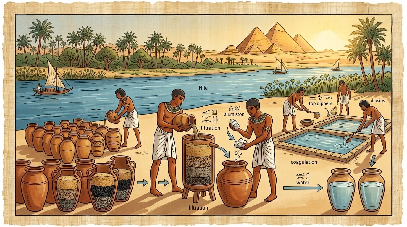
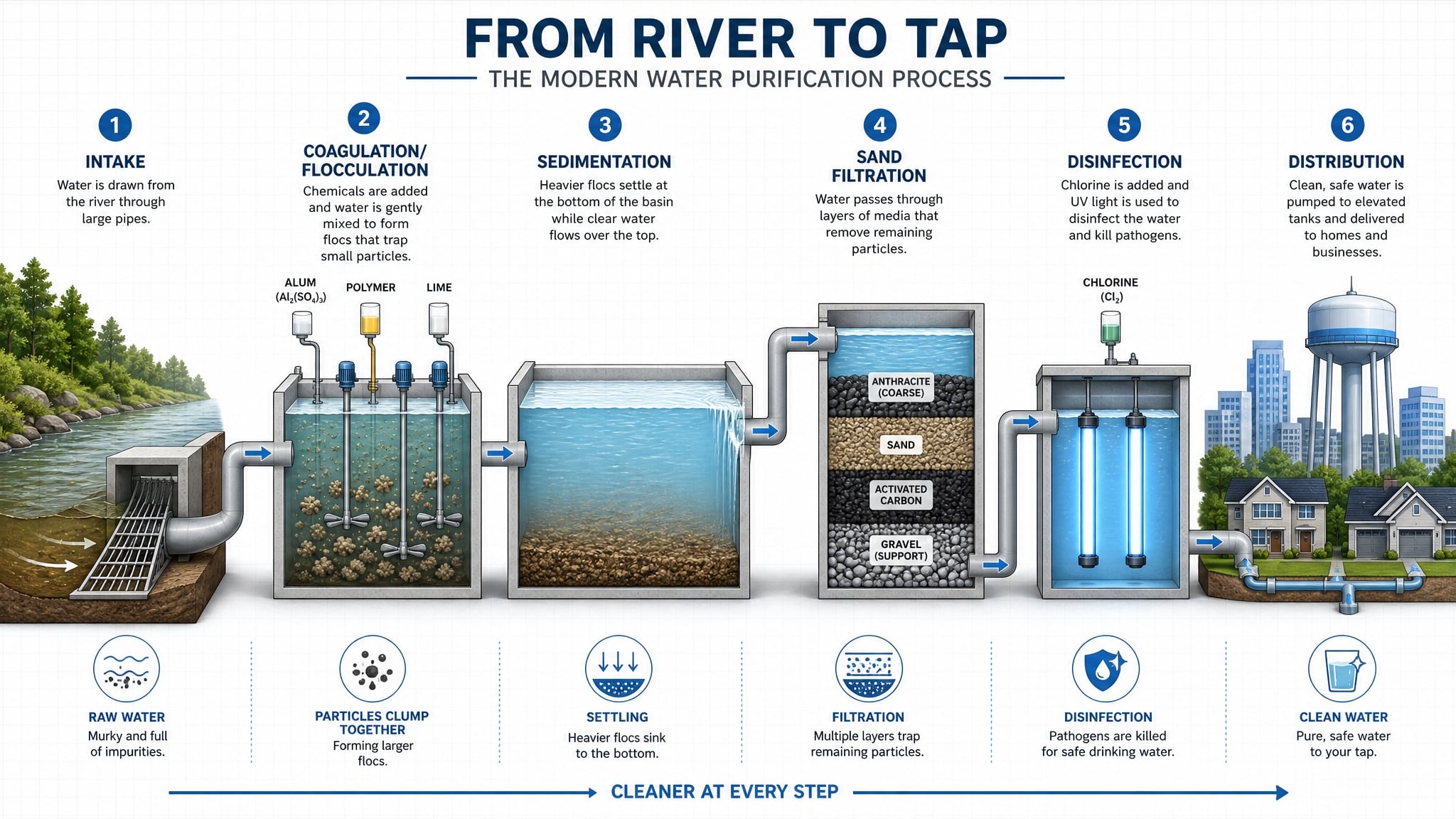
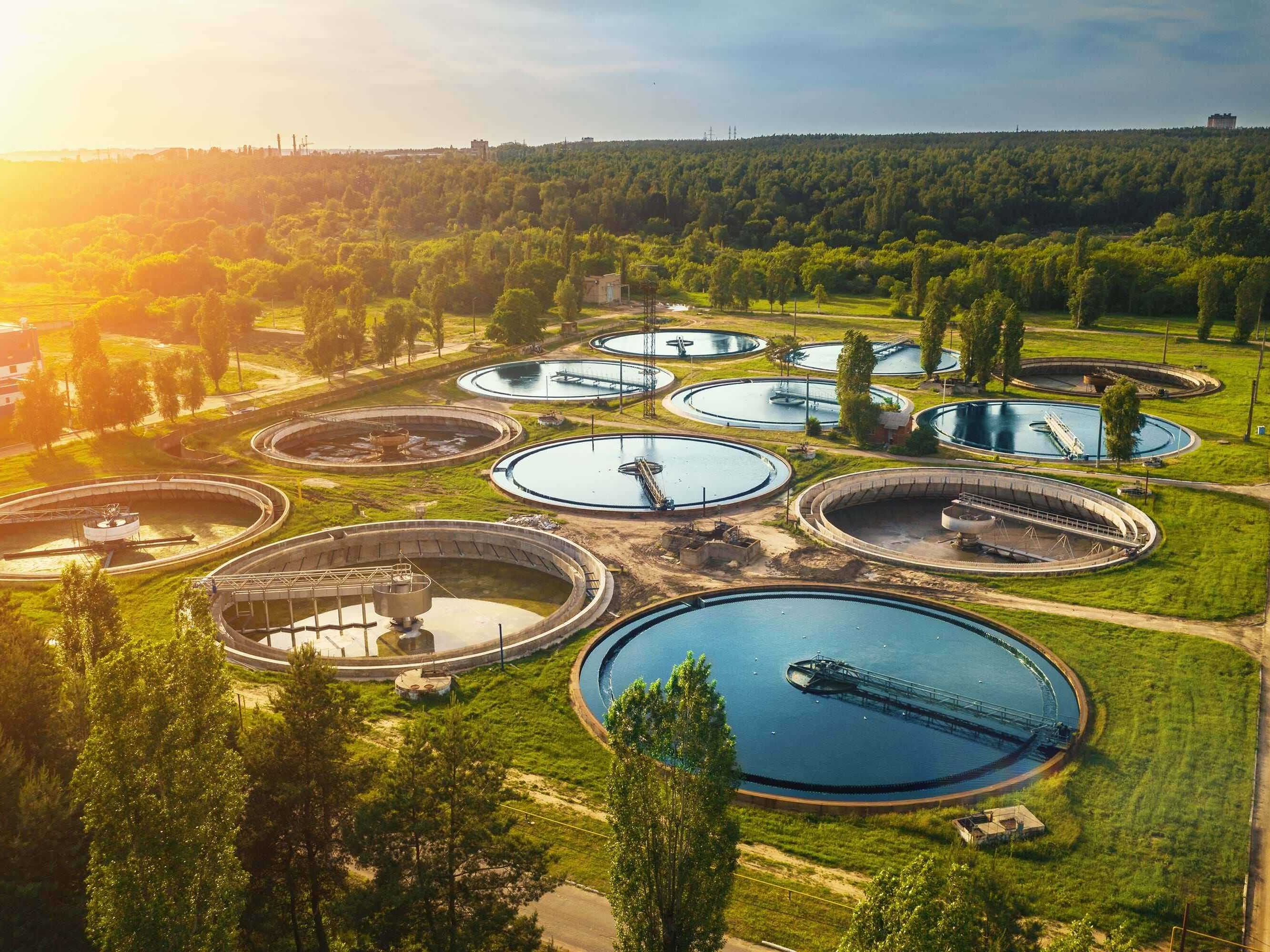
The Nile section broadens the story from underground reserves to water quality: intake, coagulation, sedimentation, filtration, disinfection, and distribution.
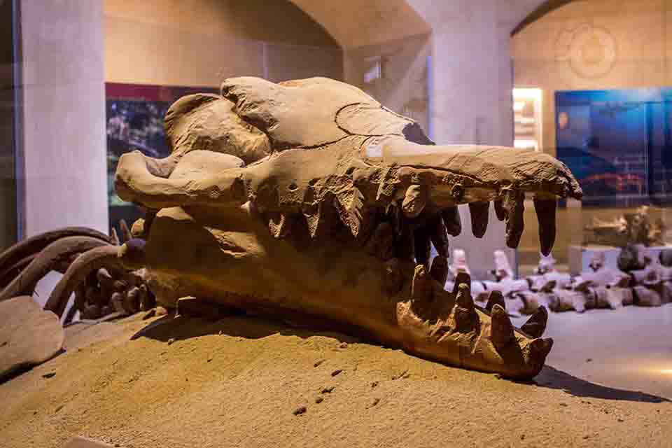
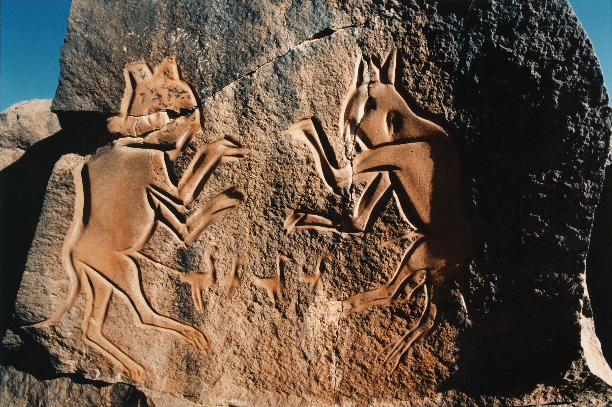
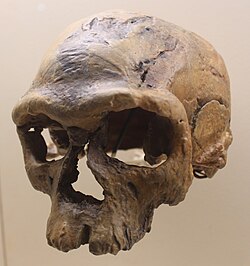
The Sahara's layers preserve whale skeletons, dinosaur remains, oil and gas systems, minerals, rock art, and evidence tied to human origins.
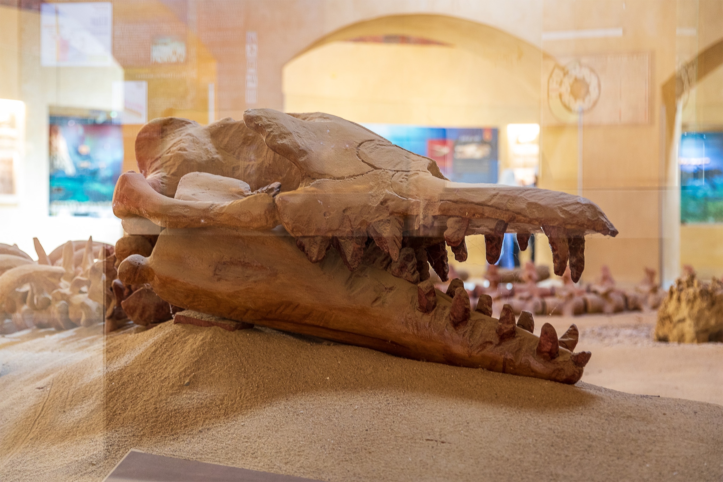
Egypt's Valley of Whales preserves archaeocete skeletons that document the transition of whales from land-dwelling mammals to ocean giants.
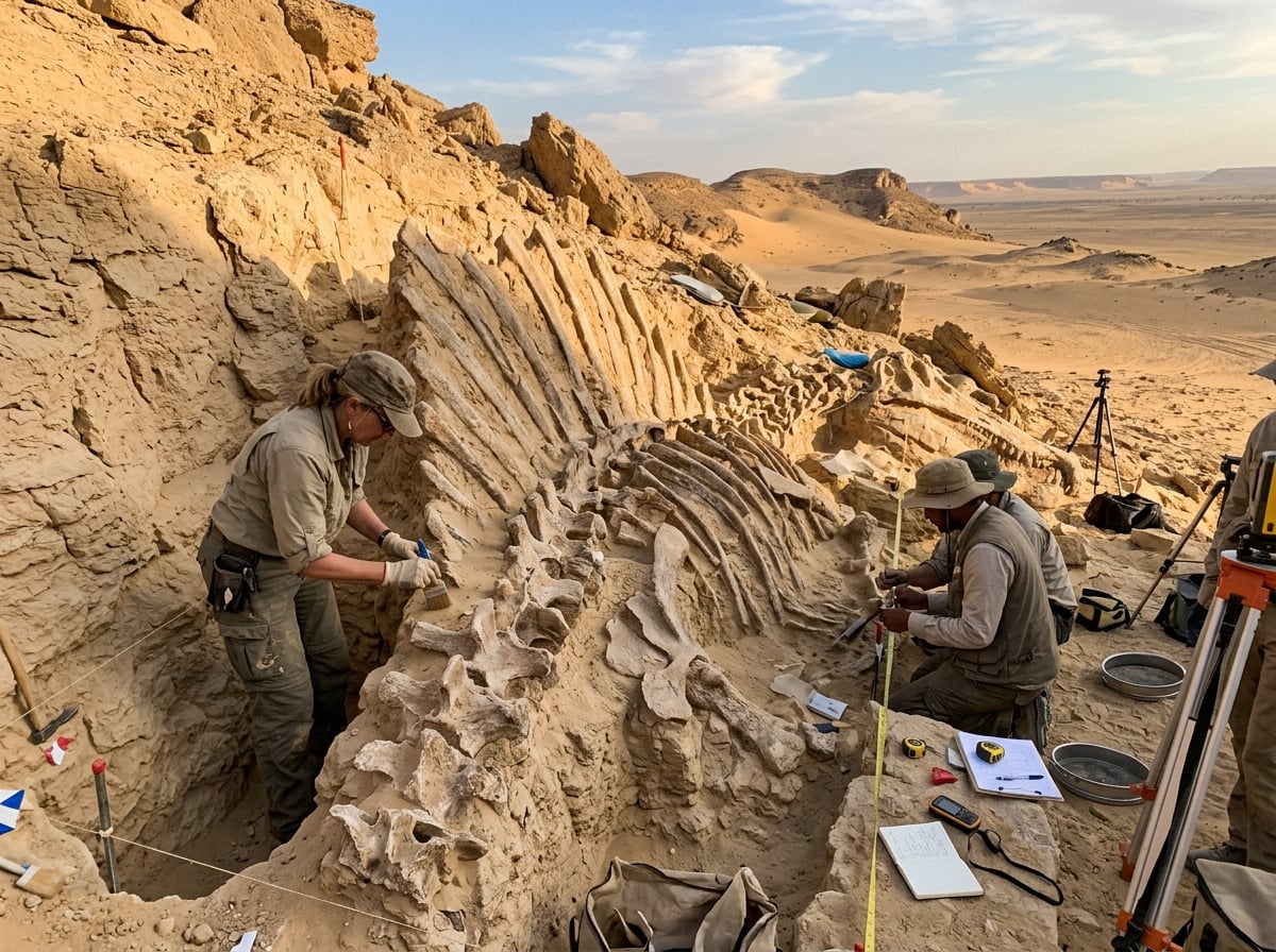
Marine reptiles, giant fish, crocodiles, and dinosaur remains all point to wetter, richer ecosystems than the modern desert suggests.


The Sahara's hidden ocean is a geological inheritance, not a renewable lake. The strongest reading of the source project is both ambitious and cautious: use science to locate water, engineering to move it, agriculture to multiply its value, and governance to prevent irreversible depletion.